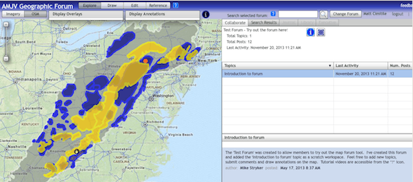
The Appalachian Mountains Joint Venture (AMJV) regional partnership is excited to announce the launching of an interactive mapping application that can create greater efficiencies in communication and use of resources to accomplish our conservation work. The Map and Forum Tracking Tool will allow the AMJV community to post bird project information, follow on-the-ground conservation activities, and participate in discussions related to specific locations or project sites within the AMJV boundary.
Our map-based forum is designed to foster targeted discussions on AMJV and Partner bird-conservation activities by linking relevant locations on a map interface with discussions and documents – reports, photos, spreadsheets. Members of the website can add content such as sketches made over the map, field journals, posts linked to bird survey locations, and year-end summary reports. In addition, members can incorporate new map layers and data and stay informed by subscribing to specific topics.
By sharing and studying information spatially, this tool will help us better visualize our efforts while enhancing planning, limiting redundancy and duplications of conservation efforts, reducing barriers to information, and facilitating greater collaboration.
Become a Member of the AMJV Website and Participate in the Mapping Forum
A series of webinars is taking place to demonstrate the use and functionality of the tool to partners and interested members of our website. Contact AMJV Staff for information about the schedule of upcoming webinars and how to participate.

Click here to view and download the 2023 AMJV Partnership Year in Review!
Read More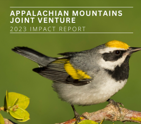
The 2023 AMJV Impact Report is now available for downloading and sharing! Starting in 2022, this beautiful report has been designed annually by Liz Brewer (AMJV Outreach Specialist) to…
Read More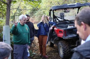
by Liz Brewer, AMJV Outreach Specialist Appalachian Mountains Joint Venture (AMJV), in partnership with the National Wild Turkey Federation (NWTF), USDA Natural Resources Conservation Service (USDA-NRCS), and the West Virginia…
Read More