The U.S. Forest Service today launched the updated version of the increasingly popular, free software i-Tree. This version includes a major new function that simulates future tree population totals, canopy cover, tree diversity and tree values by species based on user information.
i-Tree and its growing suite of tools make it possible for anyone to analyze individual trees, parcels, neighborhoods, cities or an entire state.
“The i-Tree enhancements will provide the public with helpful scientific information about the trees across the U.S.,” said U.S. Forest Service Chief Tom Tidwell. “With i-Tree you won’t have to imagine how trees enhance your communities because it will demonstrate their value to all of us.”
The Forest Service worked with private industry, professional associations, non-profit groups, and universities to develop i-Tree, a public-domain suite of forest assessment tools.
Since the initial release in 2006, thousands of communities, nonprofit organizations, managers, consultants, volunteers and students in more than 100 countries have used i-Tree to produce customized reports.
The enhancements provided in i-Tree, Version 6.0, include:
“The new ability to prioritize tree planting locations throughout the U.S. is a major step forward for improving human health in our nation,” said David J. Nowak, i-Tree team leader for the Forest Service. “i-Tree has tools to help users select and see the benefits of individual trees. The new Landscape program now lets people compare the benefits of trees, then determine which neighborhoods are the highest priority areas to plant to boost environmental quality and human health.”
i-Tree already includes i-Tree Streets, which focuses on the benefits provided by a municipality’s street trees and puts a dollar value on the street trees’ annual environmental and aesthetic benefits. The program’s i-Tree Design is a simple online tool that provides a way to assess individual or multiple trees at the parcel level. The tool links to Google Maps and allows a homeowner to see how tree selection, size and placement on their property affect energy use and other benefits.
The Forest Service developed a collection of resources to help people to better use the suite of programs. Resources include manuals and workshops, video instructions and archived webinars, and a look at how others have used i-Tree tools.
Article by the U.S. Forest Service.

Click here to view and download the 2023 AMJV Partnership Year in Review!
Read More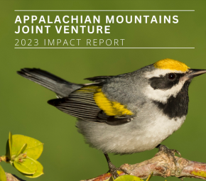
The 2023 AMJV Impact Report is now available for downloading and sharing! Starting in 2022, this beautiful report has been designed annually by Liz Brewer (AMJV Outreach Specialist) to…
Read More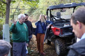
by Liz Brewer, AMJV Outreach Specialist Appalachian Mountains Joint Venture (AMJV), in partnership with the National Wild Turkey Federation (NWTF), USDA Natural Resources Conservation Service (USDA-NRCS), and the West Virginia…
Read More